Route scoring for motorcyclists
Score any route
before you ride it.
MotoScore evaluates roads on what matters when you're on a bike — pavement, traffic, curviness, and several other factors — tailored to how you ride.
Free to use · No credit card · Exports to Garmin & standard GPX
Six-factor ride score
Curvature, elevation change, surface quality, vertical exposure, altitude ceiling, and scenic impact — weighted to your riding style.
Export to any device
One-touch to Google Maps, or GPX export — Garmin-optimised, with standard GPX for other navigation tools.
Save & compare routes
Split heatmap comparison view. Score two variants of a loop and see which one is actually more fun before you go.
How it works
Three steps from map to GPS.
Draw or import your route
Click waypoints on the map, or drop in a GPX file from Garmin Explore, Komoot, or anywhere else. Road-snapping handles the geometry automatically.
Choose your ride profile
Select sport, touring, commuter, or custom. Each profile shapes the score around what matters to your riding style.
Export to your GPS
Open directly in Google Maps, or export a Garmin-optimised GPX that loads cleanly onto a Garmin motorcycle GPS (tested on the Zumo XT2) and stays on the line you drew.

The score, explained
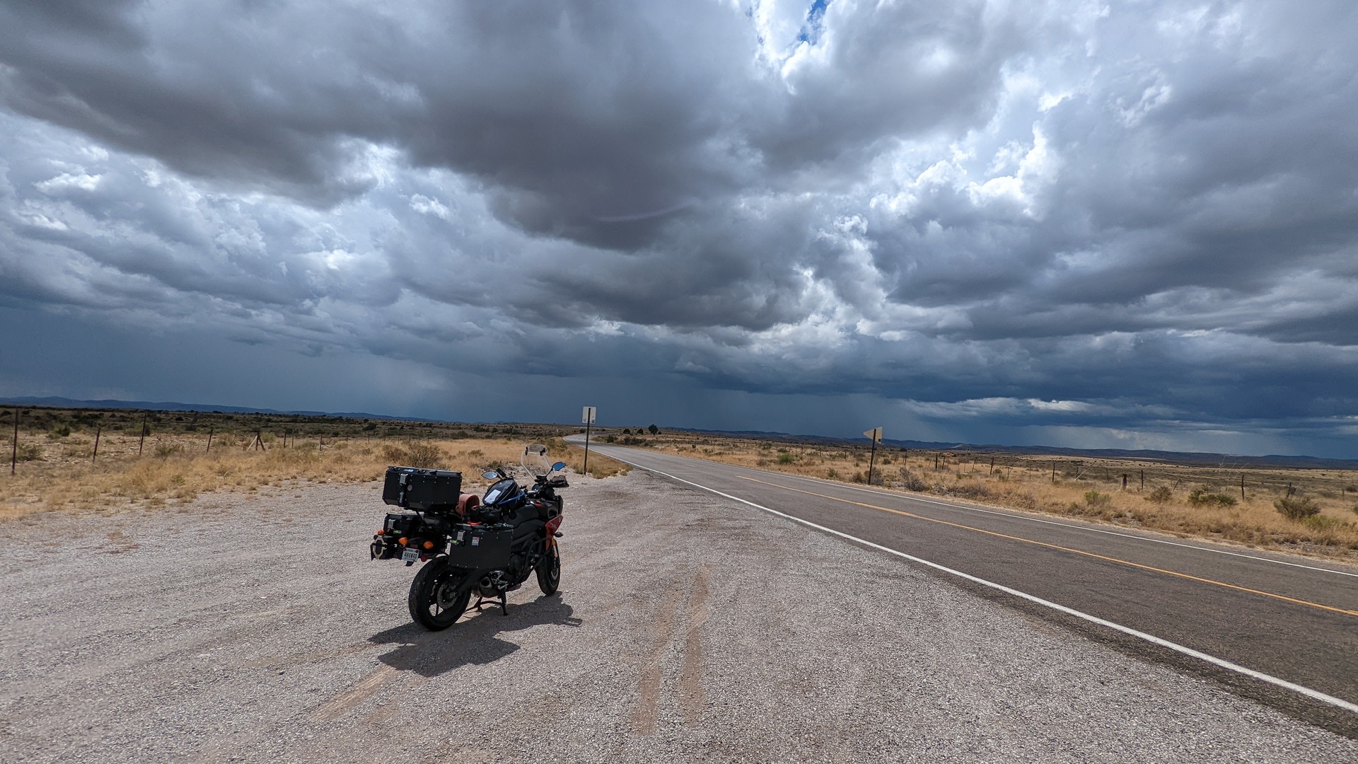
Million Dollar Highway, CO
High curvature, dramatic elevation change, extreme vertical exposure, and an altitude ceiling above 11,000ft. The score captures what makes this road extraordinary — not just the curves.
Read how scoring works →Six-factor model
Built for riders, not just roads.
Most apps treat roads as navigation problems. MotoScore treats them as experiences. The six-factor model captures what makes a road feel extraordinary — including things GPS geometry alone can't see, like sheer drop-offs and panoramic altitude.
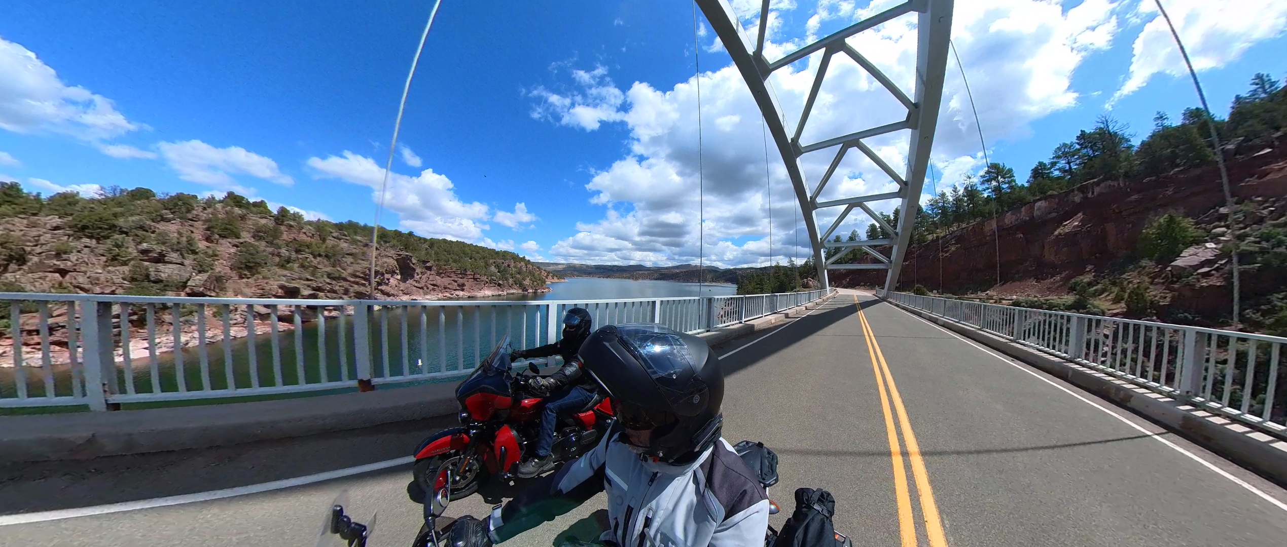
Skyline Drive in Cañon City, CO is short, relatively straight, and technically unremarkable. It also happens to be one of the most extraordinary roads in the state — perched on a ridge with drop-offs on both sides. The original three-factor model scored it poorly. The six-factor model gets it right.
Example route
Blue Ridge Parkway — Mabry Mill to Fancy Gap, VA
24.2 mi
Export & share
Your route, your device
One-touch to Google Maps, or download a GPX file — Garmin-optimised for motorcycle GPS units, or standard GPX for other navigation tools.
Open in Google Maps
Sends your route directly to Google Maps for turn-by-turn navigation. No file download needed.
Works on iPhone & Android · Opens in the Maps app immediately
Garmin-Compatible GPX
Optimised for Garmin motorcycle GPS — imports cleanly and stays on the line you drew. Tested on the Garmin Zumo XT2.
Garmin Zumo XT2 (tested) · expected to work on XT3, Tread, and zūmo 396
Standard GPX
Clean GPX 1.1 format compatible with standard GPX navigation tools — Wahoo, TomTom, Kurviger, and anything else that reads the format.
Guides & blog
Plan rides you'll remember
Road reports from real routes, scoring deep-dives, and how-to guides from a rider who uses MotoScore every week.
For the professionals who run the roads.
Tour operators will be able to use MotoScore to pre-validate guest routes, communicate difficulty expectations, and give clients GPX files for their devices. B2B partnerships open in 2027.
- Score your entire route library before the season starts
- Export client-ready GPX files for Garmin, Wahoo, TomTom, and Google Maps
- API access planned for 2027 — reach out to follow along as we build it
Example operator package
Blue Ridge Fall Loop — 3 days
overall verdict across all segments
6 GPX files exported
Operator note
Day 2 Skyline Drive segment rates Great — flag as highlight for guests. High vertical exposure; set expectations accordingly.

Your next great ride starts here.
Free to use. Works with your GPS. Scores ride quality, not just distance.
Join the waitlist →